To remain relevant to consumers and market trends, businesses benefit from frequently adapting to new technologies. Drones are becoming more popular for businesses to boost brand value and better reach business objectives. Due to their functionality, businesses from multiple industries are opting into drone solutions to replace current business operations and labor procedures.
Regulated by the Federal Aviation Administration (FAA) drones are becoming more acceptable around different geographical regions. With drones becoming more relevant within mainstream markets, businesses may significantly benefit from using drones to improve productivity and enhance brand value. To learn more about which mobile apps pair best with commercial drones, businesses may reach out to a local Los Angeles mobile app development company like SunlightMedia.org.
What are Drones?
Commonly referred to by different names, like Unmanned Aerial Vehicles (UAV), drones may assist the end-user with various tasks. Drones vary in size and may scale from full-sized aircraft to hand-held technologies.
Additionally, various drones have different capabilities and functions. In other words, some drones climb higher than others, vary in battery life, or perform more precise flight patterns. Equipped to the drone are various sensors for the end-user to control from a remote device or mobile application. Here are some tips for drone pilots to avoid crashing and make better use of the drones.
Types of Drones
There are different types of drones available for commercial and recreational use. Depending on the business objectives, different drone types will better serve different job purposes. From the variations, there are single and multi-rotor, and fixed-winged drones available for commercial and business use.
Single-Rotor Drones
Single-Rotor drones closely resemble traditional helicopters. These drones may be powered through gas or electrically. In contrast to other drones, these dorn types tend to be more stable and fly for longer distances. Commonly, businesses may use these drone types for transports, land surveys, and weather reports.
Multi-Rotor Drones
Mult-Rotor drone technologies are typically smaller and lighter than the alternatives. Due to the design, multi-rotor drones lack distance, speed, and the ability to climb higher than other drones. Commonly, these drones are seen in use by aerial photographers, racing competitors, and other business personnel. With around thirty minutes of battery capacity, these drones prove useful for most end-users. Additionally, these drones may hold lighter loads, such as cameras.
Fixed-Wing Drones
Lastly, fixed-wing drones closely resemble the style of an airplane. Unlike drones with rotors, fixed-wing drones maneuver by wing movements lifting and lowering. Mostly fuel-driven, these drones may continue to glide across aerial landscapes for longer periods of time. Also, these drones tend to be larger in size, which means specific takeoffs and landing zones are required. Additionally, these drone types have high use as they may handle larger and heavier equipment.
Uses for Drones
In detail, drones have various purposes for different industries. For instance, users within the agriculture industry may utilize drones for health reports on crops and land surveying. Also, medical and technical fields require drones for assisting with safety tasks and repairs. Additionally, drones are used for commerce deliveries. Lastly, drones may be used by the military to assist with surveillance and intelligence reports. Depending on the goals, businesses may take advantage of drones to better reach their personal business objectives.
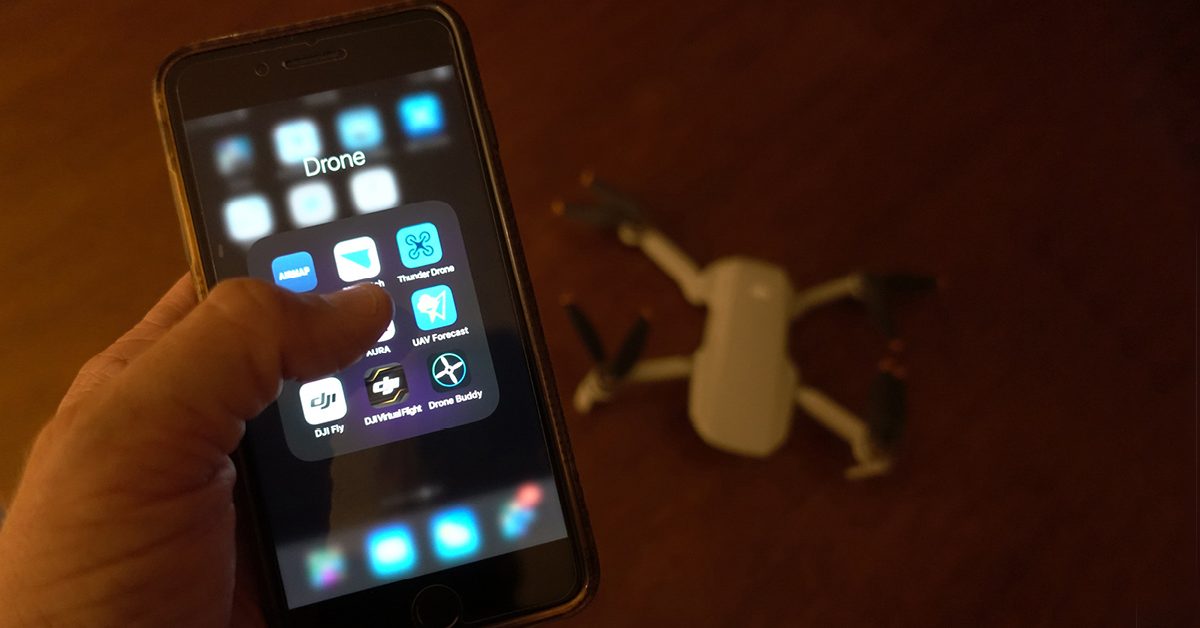
Mobile Apps for Drones
Google Earth
Free for mobile and desktop, Google Earth has a user-friendly interface with useful functions. The application may assist businesses with easily searching destinations and reviewing landscapes before sending out teams for drone use. Included within the program are topographical maps for terrain mode visuals and pan, tilt, zoom, and rotate functions. Also, users may bookmark and label various locations depending on their needs. Lastly, Google Earth enables end-users to develop project portfolios and import GPS data to better examine images in 3D.
Kittyhawk
Kittyhawk is an essential mobile application for drone users planning and executing flights. Available for iOS and Android mobile users, Kittyhawk allows users to plan flights, create checklists, and log flight hours. Regulated by the FAA, the program enables end-users to make Low Altitude Authorization and Notification Capability requests. Additionally, drone users with the mobile app may perform flight automation tasks and monitor system diagnostics such as battery performance and real-time flight reports. An enterprise membership is available for businesses seeking team management features.
Hover
When using Hover, drone users may utilize various user-friendly and useful features. With hover, users may gain better mapping and location awareness when navigating the drone. In other words, Hover users may review visibility and wind forecasts, weekly weather information, and no-fly zone maps. Additionally, there are reports based on air traffic and alerts when flying near airports and high industrial settings.
Airmap
With Airmap, drone pilots may better understand airspace environments while using advanced mobile app features. Included within the Google Play Store application, Airmap features drone mapping, geo-fencing, flight logging, and real-time traffic updates. Also, the application allows users to quickly reference rules and regulations for flying in specific zones. Additionally, Airmaps maps include various directional orientations and weather reports to better prepare flights.
B4UFly
Available on the App and Google Play Store, B4uFly is a well-known mobile drone application for better understanding flight environments. The app includes references to the FAA drone laws and offers drone pilots various features for checking surrounding airspace environments. With real-time status feeds, user-friendly map interface, and reports, drone users may better plan their flights.
Within the B4uFly’s maps feature, there are longitude and latitude details, search address fields, recent search history, and warning signals. These warning signals may appear as different restrictions for surrounding billboards and other aircraft. Users may customize map styles and settings, such as 2D map layers or satellite views.
Conclusion
In conclusion, every business operating drones to improve their brand significantly benefits from using mobile apps for drones. Although there are many alternatives, the mobile applications listed within this article provide both commercial and recreational users with necessary information and user-friendly interfaces to save more time planning and executing flights while understanding the various rules and regulations enforced when conducting drone flights. With these must-have mobile apps for drones, businesses may optimize their flight routes to better accomplish business objectives and overall boost business performance.
Author Bio
Jhonathon believes in providing high-quality project management services. He currently works for Sunlight Media LLC in Downtown Los Angeles, California. As a Project Manager, Jhon collaborates with clients on website design and development, marketing, and creative solutions for campaigns. In addition to Project Management, Jhon is a content writer who writes articles that rank well on Google and other social media platforms. His skill sets include social media marketing, eCommerce, brand development, programming, web design, and graphic design.